Boundary Establishment Agreements in Utah: A Newer Way Neighbors Can Resolve a Disputed Line
Learn newer ways neighbors can resolve a disputed line in boundary establishment issues.
Boundary Establishment Agreements in Utah: A Newer Way Neighbors Can Resolve a Disputed Line
If a fence in Kaysville or Clearfield has never quite matched the deed line, and you and your neighbor actually agree on where the real boundary should be, Utah has a statutory path that turns that agreement into a recorded, binding document — without a lawsuit. It won’t create a new lot, it won’t erase an existing easement, and it isn’t a substitute for city land-use approval. But when the disagreement really is just “where’s the line,” it’s often faster and cheaper than litigation.
Tell me what’s actually going on — whose fence, whose survey, what the deeds say — and I’ll walk through whether this tool fits or whether the dispute runs deeper than a boundary question.
Your first questions, answered
- What’s this actually for?Clarifying an ambiguous or disputed common boundary between neighbors who already agree on the fix.
- Does it skip court entirely?Yes, if both owners will sign — it’s a recordable agreement, not a lawsuit.
- Does it create a new lot?No, and it can’t be used to try.
- Does it touch existing easements?No — previously recorded easements survive untouched.
- Does recording it satisfy the city too?No — it’s not land-use or subdivision approval.
Source basis: This guide uses Utah Code 57-1-45, Utah Code 10-20-907, the Davis County Recorder, the Davis County Property Search tool, and the Davis County Surveyor. These support general process education — they don’t determine title, predict a court’s ruling, or promise a result for your specific parcel.
When does a boundary establishment agreement actually fit?
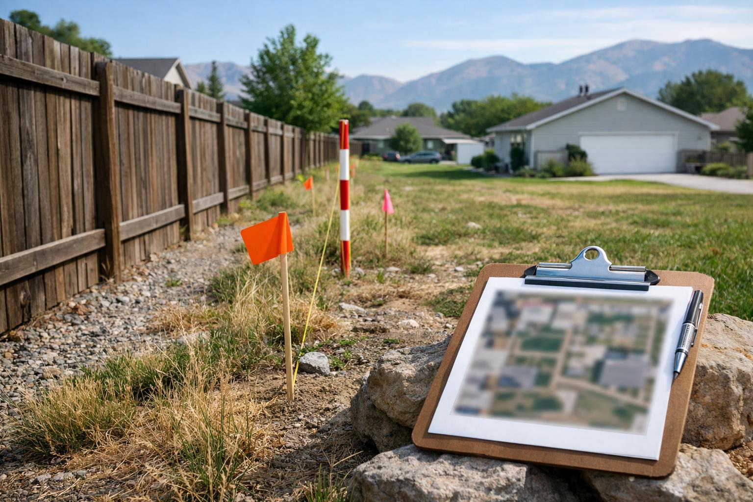
This tool fits a narrower situation than people expect: both owners already agree, informally, on where the real line sits — they just don’t have a document that says so. Maybe the deed description is vague, an old survey doesn’t match a modern one, or a fence has sat a few feet off the paper line for decades and nobody’s ever disputed it. Utah Code 57-1-45 lets adjoining owners turn that shared understanding into a signed, recordable document.
It stops being the right tool the moment “where’s the line” turns into “who actually owns this,” “is there an easement here,” or “can I even build what I’m planning.” Those are different legal questions with different processes, and a boundary establishment agreement can’t resolve them.
How this differs from an informal fence deal
Moving a fence, texting your neighbor “yeah that’s fine,” or shaking hands over a beer doesn’t create anything the county recorder can index. The statute requires a signed, acknowledged document with a proper legal description — either tied to a survey or, in limited cases, a no-survey exhibit that still meets the statutory requirements. Once that document is recorded, it’s effective on the recording date and gets indexed against both affected parcels, the same way a deed would be.
That distinction matters at resale. A verbal understanding between two neighbors means nothing to a title company or a future buyer. A recorded establishment agreement shows up in the property’s chain of title, which is exactly the point.
What the document actually has to say
Beyond agreeing on the line itself, the document needs to identify each affected parcel, describe the ambiguity or dispute it’s resolving, and state the established boundary in language precise enough to record. Utah’s framework distinguishes a boundary establishment (fixing an uncertain existing line) from a boundary line adjustment (which involves other land-use and subdivision considerations) — don’t assume the two terms are interchangeable when you’re reading other resources on this.
Monuments, fence lines, and existing improvements often show up as reference points in the description, but the document has to do more than gesture at “the fence” — it needs a legal description that will still make sense to a surveyor or title company decades from now.
Why title and survey records matter before you draft anything
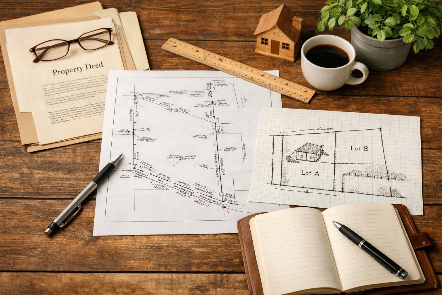
Pull the deeds, the plat, any existing survey, and title material before assuming the dispute is purely about location. A survey can reveal whether a recorded easement, a setback issue, or an actual ownership question is hiding underneath what looks like a simple line disagreement. The statute allows a survey-reference approach that ties the new description to physical monuments and recorded features — useful, but it’s a professional surveyor’s job to produce that description, not something to sketch from a phone photo of the fence.
Previously recorded easements aren’t touched by a boundary establishment agreement, which is exactly why checking what’s already on record matters before you draft: you want to know what you’re not changing, not just what you are.
What happens after it’s recorded
The document becomes effective on the day it’s recorded and gets indexed against both properties at the Davis County Recorder’s office in Farmington — the same office that handles every other deed and title document for the county. Once it’s recorded, you (or a title company later) can pull it up through the Davis County Property Search tool tied to either parcel’s address.
Because the agreement can shift ownership to the newly established line, it’s worth looping in your lender and title insurer if either property is mortgaged or insured — a boundary shift, even a small one, can have implications for both that are worth confirming rather than assuming.
What stays outside the agreement no matter what
Two things survive a boundary establishment agreement completely untouched: previously recorded easements, and your city’s land-use and zoning rules. Recording this document doesn’t grant a variance, doesn’t approve a subdivision, and doesn’t satisfy a setback requirement if the newly established line changes how close a structure sits to the property edge. If your reason for doing this involves a future building project, check with the city separately — Kaysville and Clearfield both run their own planning departments, and neither treats a recorded boundary agreement as land-use approval.
When litigation is still the right path instead
This tool only works when both owners will sign. If one owner won’t agree, if the dispute is actually about who owns the land rather than where the line sits, or if there’s a real disagreement about the underlying evidence, a boundary establishment agreement can’t resolve it — that’s a case for the courts. Notably, a court judgment that establishes the disputed line can itself become the establishment document once it’s properly recorded, so litigation and this statutory tool aren’t always mutually exclusive; sometimes the court resolves the dispute and the recording still happens the same way.
| Step | Action | Why it matters |
|---|---|---|
| 1 | Confirm both owners actually agree | This tool only works with mutual agreement on the line itself. |
| 2 | Pull deeds, plat, survey, and title | Rules out a deeper ownership or easement question first. |
| 3 | Get a proper legal description drafted | A recordable document needs more than a fence photo. |
| 4 | Record it, then confirm the index | Pull it via Davis County Property Search to confirm it’s attached to both parcels. |
This agreement is genuinely useful when it turns a real, shared understanding into something recordable. It becomes a problem when someone tries to use it as a shortcut around a title, easement, or land-use question that hasn’t actually been resolved — those don’t disappear just because the boundary line does.
Frequently asked questions
Is this the same as a boundary line adjustment?
No — they’re related concepts but different processes. A boundary line adjustment typically involves subdivision and land-use review; a boundary establishment agreement resolves an ambiguous existing line between adjoining owners. Check which one actually fits your situation before drafting anything.
Can one owner record it alone?
No. Both adjoining owners need to sign and have their signatures acknowledged for the document to be valid and recordable.
Do we need a licensed surveyor?
Usually, yes, for the legal description to be reliable. The statute does allow a limited no-survey exhibit in some cases, but a surveyor’s professional description is the safer route for anything that will matter at resale.
Our fence isn’t on the deed line — does that alone prove anything?
Not by itself. A misplaced fence might explain why the dispute exists, but it doesn’t answer questions about title, adverse possession, or which boundary the owners actually intend to establish going forward.
Will this remove a utility easement on my property?
No. Utah Code 57-1-45 specifically preserves previously recorded easements — a boundary establishment agreement doesn’t touch them.
What if the county recorder rejects the document?
Usually that’s a formatting or legibility issue the recorder’s office can explain directly. If the rejection points to a substantive legal problem instead, that’s worth a separate conversation with an attorney before resubmitting.