Title Report, Deed, Survey, and Photos: Building the File for an Ownership Dispute
Title report, deed, survey, photos: here's how to organize the records in a Utah property ownership dispute before you meet with an attorney.
Title Report, Deed, Survey, and Photos: Building the File for an Ownership Dispute
Disputing who owns a strip of land or a structure? Maybe it’s the ground between your driveway and the neighbor’s on a Davis County street, a fence that may sit on the wrong side of a line, or a shed someone says is on their property. Before a consultation, your best move is to build an organized file: your complete deed and recorded documents, your title paperwork, any existing survey, dated photos, payment and use records, and a simple timeline tying them together.
The key is to label what each document is, not what you hope it proves. A deed, a survey, and a parcel map each say something different, and none of them decides the dispute on its own. For owners in Kaysville, Clearfield, and nearby Davis County towns, the county’s own offices can help you find many of these records. Deciding what they mean is a separate step.
What a strong consultation file has
- Complete documents, not screenshots.Full deeds with attachments, the whole title policy with its schedules, and the entire survey.
- Honest labels.Each document named for what it is, and anything you drew yourself marked “not a survey.”
- Original photos.Unedited files with dates and a note about where you were standing.
- A timeline with gaps marked.Each date tied to a document, and anything uncertain labeled as an estimate.
What right are you actually disputing: ownership, a boundary, or use?
Before gathering anything, try to name the disagreement in one sentence. It’s harder than it sounds, and it shapes which records matter most.
- Ownership: Who holds title to a piece of land or a structure?
- Boundary location: Where exactly does the line between two properties run?
- Use: Does someone have permission or a right to use land they don’t own, like a path or a driveway?
- Conduct: Is the real complaint about what a neighbor is doing, like drainage, noise, or damage?
- Agreement or money: Is the dispute about a contract or an unpaid amount?
Utah Courts’ district court filing guide puts disputes over who owns property, how it’s used, where its boundaries sit, or what it’s worth under a “Property Rights” category. That’s an administrative label for sorting cases. It doesn’t mean every disagreement belongs in court, or that a lawsuit fits yours.
You don’t have to get this exactly right. Many disputes blend two or three of these. But a sentence like “My neighbor says the six feet beside my driveway are theirs” points to different records than “My neighbor keeps parking on my side.”
What people commonly get wrong about property ownership records
Almost every property dispute starts with someone pointing at a document and saying “see, it’s mine.” Here’s where that usually goes sideways.
“The county map shows the line, so that settles it.”
Davis County’s online property search, DC Property Search 2.0, says its information is for informational purposes only, its accuracy isn’t guaranteed, and it isn’t intended for use in legal documents. It also notes that a title search may be needed. A screenshot is a useful lead. It isn’t a legal description or a decision about ownership.
“The Recorder’s Office can tell me who’s right.”
The Davis County Recorder records, stores, and indexes land documents and provides copies. The office is clear that it won’t give legal advice, interpret documents, or run title searches for the public. Recording a document also isn’t the same as the county deciding it’s legally valid.
“A survey proves I own it.”
The Davis County Surveyor explains that a survey reflects a surveyor’s professional judgment based on records and facts on the ground, not proof of ownership. A survey can be very important evidence. It doesn’t settle competing legal rights by itself.
“The tax description is my legal description.”
Not necessarily. The Surveyor’s office says tax descriptions can be abbreviated, and it advises giving a surveyor the description from your deed or mortgage rather than relying on the tax description. Bring the recorded description.
“My title report came back clean, so there’s nothing to worry about.”
Title paperwork comes in different forms. The Utah Insurance Department explains that a title commitment issued before closing is different from the policy issued afterward, and that exceptions and exclusions, including items listed on Schedule B, affect what the policy covers. A summary page isn’t the whole picture.
“I’ve paid the taxes and kept up the fence for years, so it’s mine.”
Payments and upkeep belong in your file as context. They don’t automatically transfer ownership. Whether long use or maintenance matters in a particular dispute depends on facts and Utah law that an article can’t apply for you.
For a broader look at how Gibb Law approaches neighbor and property disputes, see our Property Disputes in Utah page.
| Record | What it can show | What it can’t decide | Where to start in Davis County |
|---|---|---|---|
| Deed | Who conveyed the property to whom, when, and the recorded legal description | Whether a competing claim exists or how a description applies on the ground | Your closing papers, or the Davis County Recorder’s Office |
| Plat and recorded documents | Subdivision layout, recorded easements, agreements, releases, and liens | Legal effect; recording isn’t a ruling on validity | The Recorder’s property search; REDI-Web for document images by subscription |
| County parcel search | Parcel identifiers, ownership history, and links to recorded documents | Ownership; DC Property Search 2.0 says it’s informational only | DC Property Search 2.0 |
| Survey | A surveyor’s professional judgment about lines, corners, and monuments | Proof of ownership, according to the Davis County Surveyor | Your own files, or the Davis County Surveyor’s records |
| Title commitment and policy | What a title insurer looked at, and what’s excepted or excluded from coverage | Whether a specific dispute is covered; that depends on the actual policy terms | Your closing file or the title company that handled your purchase |
| Photos and messages | Conditions, changes over time, and what each side said | Where the legal line is | Your phone, email, and old family photos |
The sources I relied on: County record details come from the Davis County Recorder’s Office, its property search tools, DC Property Search 2.0, and REDI-Web. Survey limits and the tax-description caution come from the Davis County Surveyor. Title commitment and policy distinctions come from the Utah Insurance Department’s Title Insurance FAQs. The quiet title definition comes from Utah Code 78B-6-1301. None of these sources decides who owns any particular piece of land.
Which recorded deeds, plats, and related documents to gather
Start with what’s already in your possession: the closing papers from when you bought, and any deed or papers a family member left you. Then fill in from the county.
Find the parcel first
Davis County’s property search tools let you look up parcels, ownership history, and recorded documents using an address or parcel identifier. Write down your parcel number and your neighbor’s. That makes everything else easier to find and easier for a lawyer to check.
Get the full documents
The Recorder’s Office provides copies of recorded documents and plats. For people who need regular access, the county also offers REDI-Web, a subscription service for document images and abstracts. Whichever route you use, get the entire document, including every exhibit and attachment it refers to.
What to collect
- Your full deed, plus any exhibit with the legal description.
- Earlier deeds in the chain, if you already have them.
- The recorded plat for your subdivision.
- Any recorded easement, agreement, release, or lien that touches the disputed area.
Keep each document’s entry number and recording date. If something is mentioned in one document but you can’t find it, list it as missing rather than guessing at what it says.
Your title report, commitment, and policy aren’t the same document
People often say “my title report” when they mean any of three or four different things. It matters which one you have.
- A title report or abstract, which should carry a date. Bring the dated version you actually received.
- A title commitment is issued before closing. The Utah Insurance Department explains it’s different from the policy that comes later.
- An owner’s policy is the insurance policy issued after closing, if one was purchased.
- Schedules and endorsements list exceptions, exclusions, and changes to coverage. The Department notes that items on Schedule B affect coverage.
Bring all of them, complete, with their dates. A one-page summary that says “no issues” doesn’t tell anyone what was excepted. And whether a title policy has anything to say about your specific dispute depends on the actual policy terms, which need to be read.
What a survey can show, and what it can’t decide
The Davis County Surveyor’s Office maintains survey-related public records, including surveys, road records, subdivisions, condominiums, and property-line adjustments. If a survey was done on your property or a neighbor’s, it may be on file.
For any existing survey, gather:
- The complete survey, not a cropped page.
- The date and who prepared it.
- Any narrative or notes.
- The dimensions and monuments shown.
- Any correspondence about it.
Two cautions from the county itself. First, a survey reflects professional judgment, not proof of ownership. Second, if a new survey is ever ordered, the Surveyor’s office advises giving the surveyor the purpose of the survey, the deed or mortgage description, and any known corner information, rather than relying on the tax description.
If you sketched the property yourself, keep that sketch separate and write “not a survey” on it. It’s still useful for explaining what you think is going on. It just shouldn’t be confused with professional work. And before ordering a new survey, ask a lawyer what kind of work actually makes sense for your dispute.
The county’s own offices are pretty candid about their limits. The parcel search says it isn’t for legal documents. The Surveyor says a survey isn’t proof of ownership. I find that reassuring, honestly. It means the answer comes from reading all of the records together, which is exactly what an organized file makes possible.
How to preserve photos, payments, communications, and use history
Photos
Keep the original image files. If you want to mark them up, do it on a copy. For each photo, note the date if you know it, where you were standing, and what direction you were facing. Old family photos showing a fence or shed years ago can be useful too. Label them with your best estimate of the year, and say it’s an estimate.
Only photograph what you can lawfully see or access. Don’t go onto disputed ground to get a better angle, and never move, alter, or stage anything.
Communications
Save complete text and email threads with your neighbor, a prior owner, a title company, or a surveyor. Uncropped threads are better than screenshots of single messages.
Payments and use history
Gather tax records, receipts for fence or driveway work, maintenance records, any permission you gave or received, and notes about when use of the area changed. Include them as background. As noted above, paying for or maintaining an area isn’t, by itself, proof that you own it.
Utah Courts’ guidance on initial disclosures lists relevant documents, electronically stored information, and people with information among the things that matter in civil cases. Your consultation folder isn’t a court disclosure, but the same habits apply: keep originals, keep everything, and don’t delete.
How to turn the documents into a clear timeline
Once the documents are gathered, a timeline is what makes them readable. Use four simple columns: date, what happened, which document shows it, and what’s disputed or unknown.
A few rules make it work:
- Give each document a short ID or filename, and use it in the timeline.
- Mark approximate dates as estimates.
- Include documents that cut against you. Leaving them out only delays the conversation.
- Where two records conflict, note the conflict instead of picking a winner.
- End with a list of open questions.
- 01 Overview: address, parcel number, people involved, the disputed area, and what you’d like to happen.
- 02 Recorded documents: deeds, plats, easements, agreements, and liens, with entry numbers.
- 03 Title file: report, commitment, policy, schedules, and endorsements.
- 04 Survey file: complete surveys, plus your own sketch marked “not a survey.”
- 05 Photos and messages: originals, with notes on date and viewpoint.
- 06 Payments and use: taxes, receipts, maintenance, and permissions.
- 07 Timeline and questions.
If you’ve already been served with court papers, or someone has given you a deadline, don’t hold off on legal advice to finish the folder. Bring what you have.
A made-up example of how the file helps
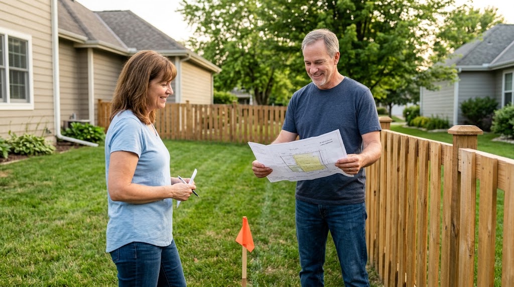
Here’s a hypothetical, not a real case. Two neighbors disagree about a strip of grass beside a driveway. One points to a fence that’s stood there as long as anyone remembers. The other points to a county parcel map screenshot.
Neither of those settles it. The fence shows where someone put a fence. The parcel map, by the county’s own description, is informational only. What actually moves the conversation forward is the file.
The owner pulls the full deed and its legal description from the Recorder, finds the subdivision plat, and locates an older survey in the Surveyor’s records. The title commitment from the purchase turns up in a closing folder, along with its Schedule B. Old family photos show the fence in roughly the same spot in an earlier year, labeled as an estimate.
The timeline then shows something nobody had noticed: the fence predates both owners, and the survey and the plat don’t obviously match the fence line. That doesn’t decide who owns the strip. It does turn a shouting match into a focused set of questions for a lawyer, and possibly a surveyor.
Quiet title, mediation, and other routes
You may hear the term “quiet title.” Under Utah Code 78B-6-1301, an action can be brought to determine adverse rights, interests, or claims in property. In plain terms, it’s a way to ask a court to sort out competing claims. Whether that route, another one, or none at all fits your situation depends on your facts, and that’s a conversation for a lawyer who has read your file.
Mediation is another possibility in some disputes. In Utah Courts’ description, the mediator is a neutral person who helps both sides try to reach an agreement. The mediator doesn’t decide the dispute. It isn’t guaranteed to work, and it isn’t right for every dispute.
A few things I’d steer clear of while the question is open: moving a fence, pulling survey markers, going onto disputed land, or recording a new document to pressure the other side. Each can make the situation harder to resolve.
What to bring and ask at your first consultation
Bring the folder, even if parts of it are thin. When you first reach out, start with a short description of the issue and what records you have. Please don’t upload deeds, title policies, or family records through the website form. We’ll arrange a secure way to share them.
Questions worth thinking about beforehand:
- Is this about ownership, the line’s location, use, conduct, or money?
- Do all my documents describe the same parcel, with the same description and dates?
- Which documents do I have complete, and which are summaries or screenshots?
- What do I know firsthand, and what am I remembering approximately or hearing from someone else?
- Do I need a title professional or a surveyor, and what should I ask them?
- What outcome would actually solve this for me?
Questions about property ownership records
Is a county parcel-map screenshot enough to show who owns the disputed area?
No. DC Property Search 2.0 says its data is informational only, accuracy isn’t guaranteed, and it isn’t intended for legal documents. Use it to find the underlying records.
Does a survey settle the ownership question?
Not by itself. The Davis County Surveyor explains that a survey reflects professional judgment based on records and facts, not proof of ownership.
What’s the difference between a title commitment and my issued policy?
The Utah Insurance Department explains that a commitment is issued before closing and the policy afterward. Exceptions and exclusions, including Schedule B items, affect coverage, so bring the complete documents.
Can the Davis County Recorder tell me which side is right?
No. The Recorder’s Office records and provides copies of land documents, but it won’t give legal advice, interpret documents, or do title searches for the public.
I have photos and receipts but no complete deed or survey. Is that enough to start?
It’s enough to start a conversation. Bring what you have, list what’s missing, and let a lawyer help identify which records to get next.
Does every ownership disagreement need a quiet title lawsuit?
No. Utah Code 78B-6-1301 allows an action to determine competing property claims, but whether that fits a particular situation depends on the facts and needs individual review.